
Rainbow over Shawangunks and Bashakill Wetlands
Wurtsboro, New York, USA
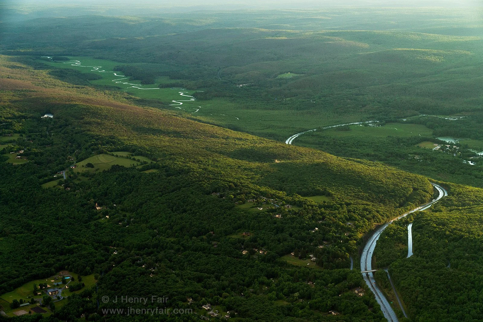
The Bashakill Wetlands, in the center of the photo, named for a Lenape Indian medicine woman who harvested medicinal plants there, is a thriving habitat and a rewilding success story. European settlers drained the wetland and used it for cattle farming. Then in 1972 New York State purchased the area and created a dam to encourage its return to nature. This 3,107-acre Wildlife Management Area contains the largest freshwater wetland in southeastern New York, and is a state designated Bird Conservation Area.
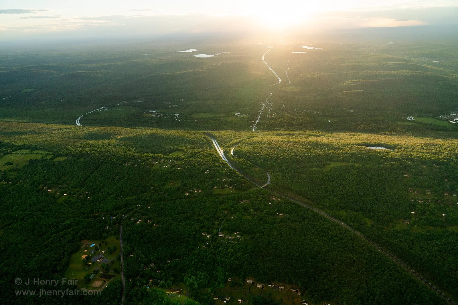
I was doing aerial photography to support efforts to prevent the enlargement of the highway seen at the top of the picture, which would encourage further development in the region. We flew through the storm at the top right of the picture, then came around to the bottom of the wetland as the sun broke through the clouds and illuminated the Shawangunk mountain range on the right side of the picture, and the rainbow formed.
So Many Thanks to LightHawk for flight support!